Hiking
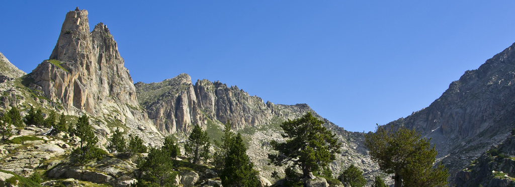
Starting from the Amitges Refuge, numerous hikes can be made to high-mountain landscapes. Lakes, streams, black pine forests, alpine meadows, granite ridges and scree slopes, small glaciers…
In this landscape, right in the heart of the Aigüestortes and Sant Maurici National Park, you can observe species of fauna adapted to the altitude -such as chamois, marmots, ermines, rock partridges, ptarmigan…- and plants that survive most of the year covered by snow: gentians, blueberries, crowberries, bugloss…
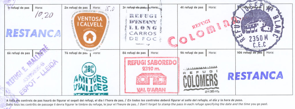
It is the circular route that connects 11 guarded refuges within the park:
Amitges, Saboredo, Colomers, Restanca, Ventosa i Calvell, Estany Llong, Colomina, Josep Maria Blanc, Ernest Mallafré, Pla de la Font and Gerdar.
There are several options (Open, Open Plus, Mini Carros, Carros Confort, South Carros, North Carros…) and new routes are often added.
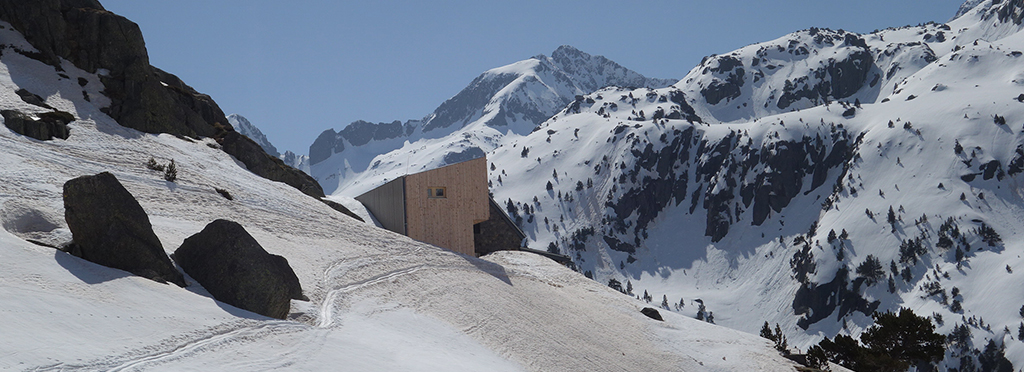
It is the Grand Distance (GR) path that crosses the Pyrenees. Its route, marked with white and red paint, passes within half an hour of the refuge, which is why it’s often used as the end of a stage.
If you’re following the trail from the Mediterranean to the Atlantic and want to pass through Amitges, you need to take a detour at the Estanyola de Ratera (Ratera Little Lake), where there’s a sign indicating a 45-minute walk to the refuge. After reaching the refuge, to continue the trek, there’s no need to descend to that altitude again.
Conversely, if you’re coming from the Atlantic, you need to deviate from the GR at the Estany del Port de Ratera (Port of Ratera Lake) and follow the signs leading to the refuge.
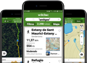
On Wikiloc you can find and upload GPS hiking routes that start, arrive or pass through the Refugi d’Amitges.